 Ultimate guide
How to See the Submerged Roman Port of Portus Julius
Last Updated: November 21, 2026
Quick Summary
Portus Julius was a man-made harbor built around 37 BC inside the Lucrine Lake on the western Bay of Naples, near Baia. Octavian's fleet used it against Sextus Pompey, and it later sank beneath the sea as the coastline subsided.
- Construction began around 37 BC and was named for the Julian family.
- Octavian's fleet used the harbor during the campaign against Sextus Pompey.
- Bradyseism, the slow rise and fall of the ground, caused the coastline to sink.
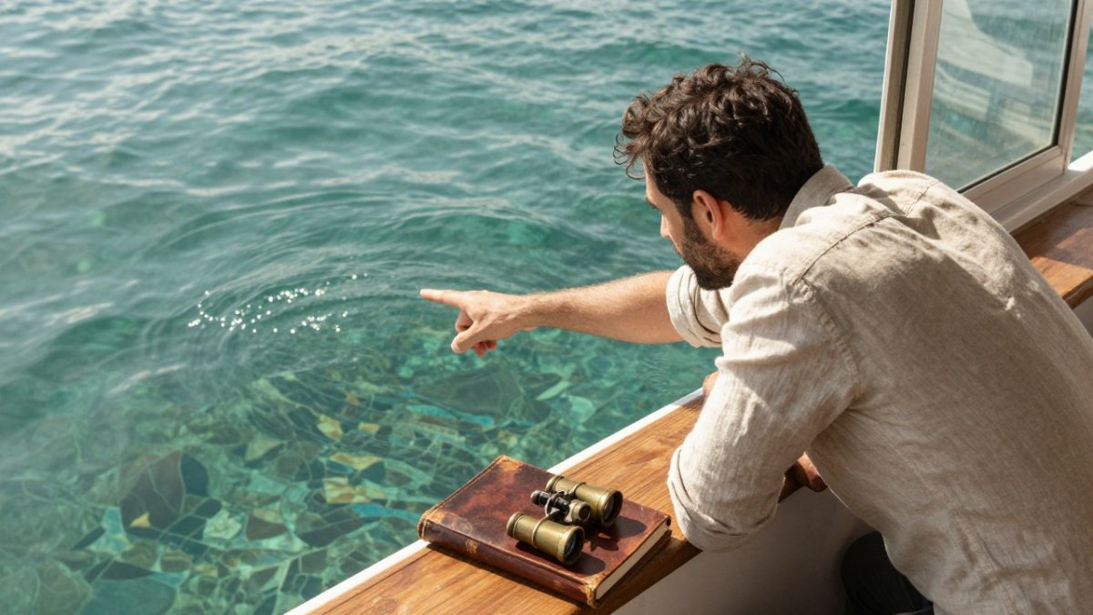
- A glass-bottom boat lets you view the ruins without getting wet.
- Diving or snorkeling brings you closer to the stonework and details.
Table of Contents
- Portus Julius: The Roman Harbor Built Inside a Volcanic Lake
- Where Portus Julius Was Located on the Bay of Naples
- Why Baia Lies Underwater: Bradyseism and a Sinking Coastline
- The Baia Underwater Archaeological Park: What Remains Visible
- Two Ways to See the Submerged Ruins: Glass-Bottom Boat or Diving
- Planning Your Visit: Practical Guidance and Responsible Tourism
- Joining a Historian-Led Visit to Buried Italy
- Frequently Asked Questions
Portus Julius: The Roman Harbor Built Inside a Volcanic Lake
Portus Julius was one of the most ambitious engineering projects of the late Roman Republic, a man-made harbor carved into the shoreline of the Bay of Naples. This site is worth bringing into focus because few visitors ever see what remains of it, and the story behind it is far stranger than most guidebooks suggest. The harbor's name honors the Julian family, and its construction is tied to one of the bloodiest chapters of the Roman civil wars. Smithsonian Magazine coverage of Roman harbor archaeology
The short version is this: Portus Julius was built inside the Lucrine Lake, a shallow body of water connected to the sea, and it served as a military harbor before the coastline shifted and the ruins slipped beneath the waves. Understanding how that happened requires understanding both the Roman politics that drove the project and the volcanic forces that reshaped the coast.
Where Portus Julius Was Located on the Bay of Naples
Portus Julius sat on the western edge of the Bay of Naples, in the volcanic district known as the Phlegraean Fields (Campi Flegrei), near the town of Baia and the shallow Lucrine Lake (Lacus Lucrinus).
The harbor was not a single basin but a system. Roman engineers cut a channel through the coastal barrier to connect the Lucrine Lake to the open sea, then linked the lake to the nearby Lake Avernus, a deep volcanic crater that could shelter warships. Nearby ports such as Puteoli (modern Pozzuoli) and Misenum formed part of the same regional network, and the fleet later based at Misenum became the largest naval base in the western Mediterranean.
A Clear Timeline: From Construction to Submergence
The chronology of Portus Julius is often blurred in popular accounts, so it helps to separate what is well established from what remains debated.
- c. 37 BC, Construction begins. The harbor was named for the Julian family (the gens Julia) to which Octavian belonged. The works involved cutting a channel to the sea, connecting the Lucrine Lake to Lake Avernus, and building naval facilities.
- 37-36 BC, Military use. Portus Julius served as the base for Octavian's fleet during the campaign against Sextus Pompey, who controlled Sicily and threatened Rome's grain supply. Agrippa used the sheltered basin to train crews and prepare ships.
- After 36 BC, Decline as a military base. Following Sextus Pompey's defeat, the harbor's military importance faded. The fleet was eventually moved to Misenum, and Portus Julius was increasingly used for commercial and leisure purposes.
- Roman imperial period, Subsidence begins. Bradyseism (the slow rise and fall of the ground) caused parts of the coastline to sink. Roman builders periodically repaired and rebuilt structures, but the trend was downward.
- Late antiquity to the Middle Ages, Submergence. Gradual sinking, punctuated by volcanic and seismic activity, left much of the ancient shoreline underwater. Some structures remained visible above the waterline for centuries.
- Modern era, Archaeological survey. Underwater exploration and survey from the 20th century onward documented the submerged remains, leading to the creation of the Baia Underwater Archaeological Park.
Where the evidence is thin, particularly the exact dates of individual harbor features and the pace of subsidence in specific periods, it is better to say so than to present a neat timeline the ruins cannot fully support. The broad sequence, however, is well established.
Smithsonian Magazine coverage of Roman harbor archaeology
Why Baia Lies Underwater: Bradyseism and a Sinking Coastline
The submersion of Baia is not a single event. It is the result of bradyseism, the slow rise and fall of the ground caused by volcanic activity beneath the Phlegraean Fields. Over centuries, parts of the coastline sank, and the sea reclaimed what had once been Roman villas, baths, and harbor works.
How the Phlegraean Fields Shaped the Shore
The same volcanic system that produced the Lucrine Lake and the hot springs of Baia also drove the vertical movement of the land. Periods of uplift and subsidence altered the relationship between the shoreline and the ancient structures built along it. A common mistake visitors make is assuming the ruins simply slid into the sea in one catastrophe. The reality is a gradual, uneven process that left some structures high and dry while others dropped below sea level.
Evidence and Uncertainty in the Archaeological Record
Not every detail of Portus Julius's history is settled. Excavation and underwater survey have produced substantial evidence for the harbor's layout and its link to the naval campaigns of Octavian and Marcus Vipsanius Agrippa, but the exact chronology of its decline remains debated among specialists. Where the evidence is thin, it is better to say so than to present a neat timeline that the ruins cannot fully support.
The Baia Underwater Archaeological Park: What Remains Visible
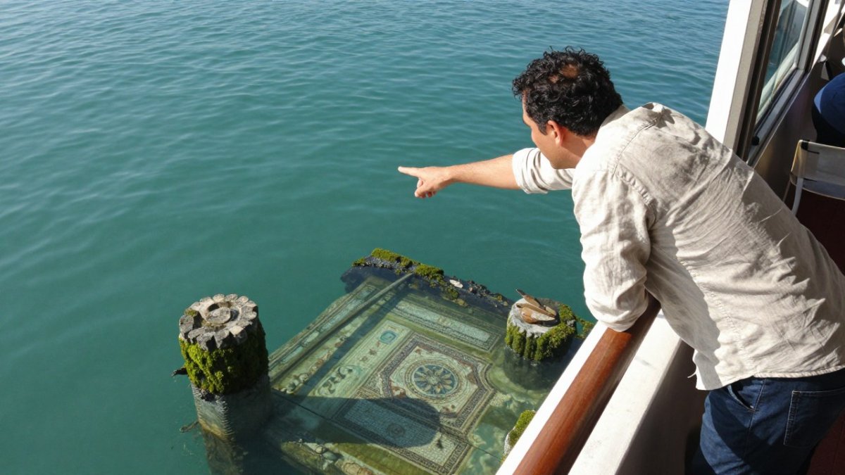
The Baia Underwater Archaeological Park protects the submerged remains of the ancient town and its harbor works. Visible features include sections of walls, mosaic floors, and fragments of tiles and bricks scattered across a sand and debris bottom. Some structures rise close enough to the surface to be seen from a boat, while others require diving to appreciate fully.
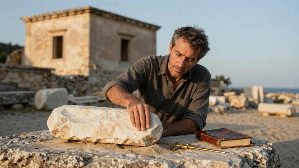
Because the site is a protected archaeological zone, visitors should expect to see remains in situ rather than reconstructed monuments. This is part of what makes the experience valuable: you are looking at the actual fabric of a Roman town, not a restored version of it.
Two Ways to See the Submerged Ruins: Glass-Bottom Boat or Diving
Most visitors choose between two options, and the right choice depends on how close you want to get and how comfortable you are in the water.
Glass-Bottom Boat
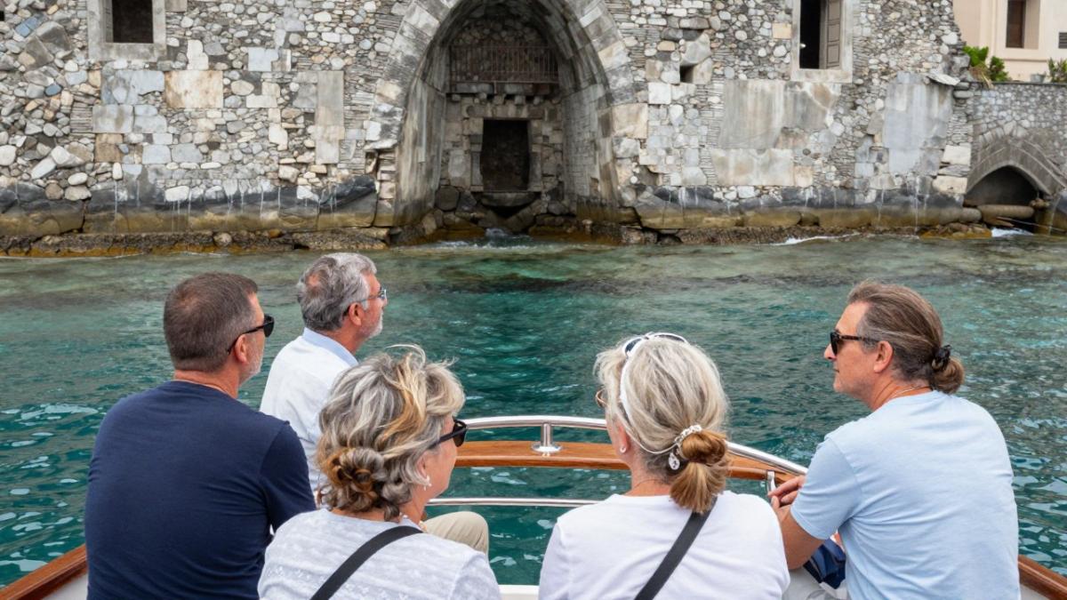
A glass-bottom boat allows you to look down through the water at the ruins without getting wet. You will see walls, mosaic floors, and scattered tiles and bricks on the sand and debris bottom. Some structures rise close enough to the surface to be clearly visible; others appear as faint outlines.
Conditions matter. Visibility is best on calm, clear days, and sea state can affect what you actually see. Watch out: if the sea is choppy, the boat may not run or the view may be poor, so build flexibility into your plans.
Diving and Snorkeling
Diving, whether snorkeling or using scuba equipment, gets you closer to the stonework and reveals details a boat window cannot show. You will need to follow the operator's instructions closely, stay within marked areas, and avoid touching or disturbing the sea floor.
Diving here is not a coral-reef experience. The appeal is archaeological: you are swimming over the actual fabric of a Roman town. Visibility varies with currents and weather, and the water can be cooler than expected outside high summer. For more on the underwater ruins, see the guided tours of sunken ruins in Italy.
What to Expect and How to Prepare
- Access: The submerged park is a protected archaeological zone. Access is regulated, and you should check current arrangements with licensed operators before you travel.
- Conditions: Visibility and sea state shape what you see on the day. Plan around the weather and allow flexibility.
- Safety: Follow the operator's instructions, stay with your group, and avoid touching or removing any material. Disturbing the sea floor damages the evidence researchers depend on.
- Accessibility: The boat option is suitable for most travelers; diving requires comfort in the water and, for scuba, appropriate certification or a guided introductory session.
- Combining options: Many visitors take the boat for an overview and then dive or snorkel for a closer look, or vice versa.
Responsible Underwater Tourism
The Baia park protects fragile remains. Responsible visitors avoid touching or removing any material, keep a respectful distance from structures, and follow all guidance from operators and heritage authorities. This is not just etiquette: the site is an active archaeological resource, and disturbance can destroy information that cannot be recovered.
UNESCO guidance on underwater cultural heritage
The two main ways to see the submerged ruins differ in how close you get and what you need to take part.
| Option | Best for | Key difference |
|---|---|---|
| Glass-bottom boat | Viewing ruins without getting wet | Looks down through water; some structures only faintly visible |
| Diving or snorkeling | Closer views of stonework and details | Requires comfort in water; stay within marked areas |
| Scuba diving | Deeper exploration with equipment | Needs appropriate certification or guided introductory session |
Planning Your Visit: Practical Guidance and Responsible Tourism
Access to the submerged ruins is regulated because they are protected archaeological heritage. Check current arrangements with licensed operators before you travel, and follow their instructions closely. Responsible visitors avoid touching or removing any material, since disturbing the sea floor damages the evidence that researchers depend on.
Plan your visit around the weather and the sea, and allow time to visit the land-based sites nearby, including the Phlegraean Fields and the archaeological zones of Pompeii and Herculaneum, which help place Portus Julius within the wider Roman world. UNESCO guidance on underwater cultural heritage
Explore the Buried Italy journeys that include the sunken Roman city of Baiae, or read the historian's guide to Portus Julius before you go.
Joining a Historian-Led Visit to Buried Italy
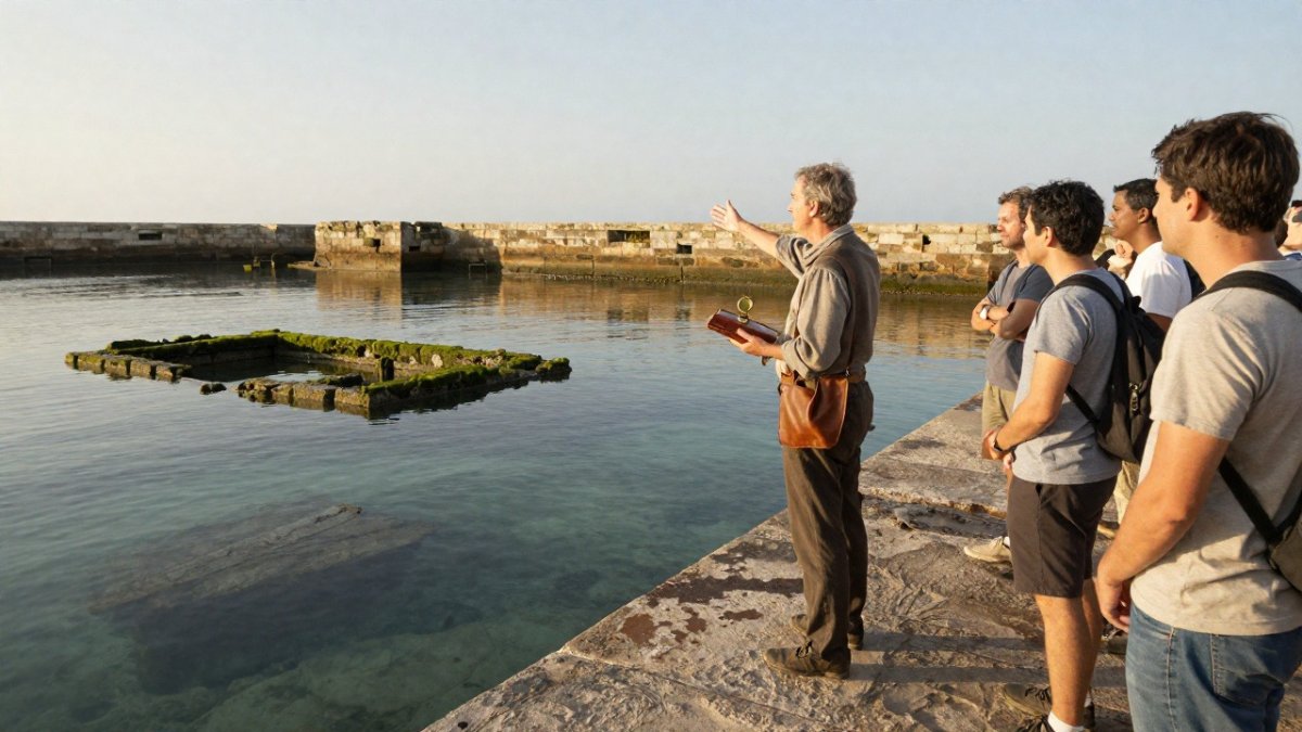
Seeing Portus Julius with context changes the experience. At Italian History with Joseph, our small-group journeys are designed by historian and author Joseph Walker, who has spent more than thirty years researching Italy's buried and forgotten past. The Campania Felix / Buried Italy program covers the Phlegraean Fields, Baia, Portus Julius, Naples Underground, Paestum, Herculaneum, and Pompeii. You can browse the Buried Italy journeys led by historian Joseph Walker to see each itinerary in detail.
Find out more about the Campania Felix tour and see how a historian-led visit can turn a glimpse of stone under water into a story you will remember.
Frequently Asked Questions
Why is Baia underwater?
Baia sits in the Phlegraean Fields, a volcanic area where the ground rises and falls over time in a process called bradyseism. Parts of the coastline have sunk over the centuries, and sea levels have also changed, so many Roman buildings that once stood at the shore now lie beneath the water of the Bay of Naples. Archaeologists continue to debate the exact timing and extent of the submergence, so the most reliable accounts describe it as a gradual process rather than a single event. Visitors can see the remains from a glass-bottom boat or by diving in the protected area.
Where was Portus Julius located?
Portus Julius was a Roman harbor built in the Bay of Naples, connected to the Lucrine Lake and the sea near Baia and Pozzuoli. Marcus Vipsanius Agrippa developed it as a naval base during the conflict between Octavian and Sextus Pompey in the 30s BC. The harbor's remains lie in the waters off the Baia coast, so the site is best approached from the shore or by boat tour in the area today.
Can you visit the submerged ruins of Portus Julius?
Yes, the submerged remains near Baia can be viewed in the underwater archaeological park, either from a glass-bottom boat or by diving with a licensed operator. Conditions depend on weather and sea state, and some areas are protected, so visitors should follow the guidance of local guides. Joining a historian-led program with Italian History with Joseph gives you context for what you are seeing, which is often hard to interpret without explanation.